SENKAKU DIAOYU ISLANDS
This article consists of 10 pages and 1679 words. SENKAKU DIAOYU ISLANDS In order to have full access, email us at thedocumentco@hotmail.co.uk
Ref No: 1381
Table of Contents
2.3 International Conventions.
3. Conclusion.
Introduction
Territorial disputes are the oldest form of conflicts known to human. There has always been conflicting views on territorial sovereignty and every side claims herself the true possessor of disputed area. At most cases, these disputes are between two neighbors those happen to be adversaries. The dispute of territorial sovereignty over Senkaku Island in East China Sea between Japan and China is not different from classical territorial disputes.
SENKAKU DIAOYU ISLANDS Both have their own way of claiming the Islands and own approach to defend their possession. With more than forty years of conflict history starting from 1970, dispute got an ugly phase during 2012, when Japanese central government bought some of the islands of Senkaku archipelago from private ownership. It is believed that the pivot of confrontation on the Islands is the prospect of huge oil and mineral reserves in the Islands. Notwithstanding the natural resources, islands have had a strategic importance for both countries and this very reason makes the claim intensive and moot (BBC, 2014).
The Rationale
The given question can be better answered by exploring the dimensions of geography, history, international law and conventions.
Geography:
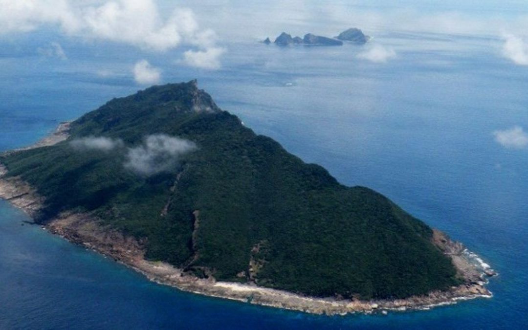
SENKAKU DIAOYU ISLANDS: are group of five uninhabited islands and three barren rocks in East China Sea. In Chinese documents, these are known as Diaoyu Dao that contains as many as 71 islets (BBA, 2014). Geographically, Senkaku Islands are the southernmost part of clusters of Islets on Japanese side. They are in fact in 170 kilometers west of Okinawa Prefecture that comprises hundreds of Ryukyu Islands in a chain over 1000 kilometers long. Okinawa and Senkaku form the southernmost continental shelf in East China Sea and that forms the southernmost extension of Japan. In the northeast side of Islands lies Taiwan, one of the claimants of Senkaku other than Japan and China. However, Chinese mainland Wenzhou is separated by 380 kilometers from the Senkaku. It can be seen in the given map in figure 1.
Figure 1 – The Geography
Source (BBC, 2014).
SENKAKU DIAOYU ISLANDS Exclusive Economic Zone (EEZ) demarcation on the Senkaku border is the cause of disagreement between China and Japan. As modern world is taking naval expansion a strategic priority, maritime interests and strong naval force go side by side now. It pushed the territorial disputes from land to sea areas. Senkaku conflict has made it clear to international community that how new standards of demarcation are needed to measure sea borders. In case of present conflict, the basics are the expansion of sea shelf and contentiousness of various islets of Islands. In geography of conflict, two aspects are worth considering
- Senkaku is one of the clusters of Islands in the East China Sea. It is also evident on the map given below in figure 2. These islands are connected to other group of islets in the sea. These exploit little direct connection to the mainland area especially on Chinese side. This particular geographic position of Senkaku and its contentiousness with other Islands in the East China Sea makes the claim of Japan stronger than China.
- However, looking this geographic position in different way changes the nature of claim, Senkaku Islands are more or less at center of the sea separating Japan, China and Taiwan and it makes the location a neutral if taking contingency argument. Nevertheless, in terms of geological formations, Senkaku are on the west side of Okinawa Trough, which means they are placed on what China claims as natural prolongation of the continental shelf extending from its shore (Masahiro, 2013). However, both countries have had conflicting interpretation about status and position of Trough. Chinese maintained that Okinawa Trough is significant between two countries and it proves that continental shelves of Japan and China are not connected. And that Trough serves as a boundary between both counties. But Japan contested this idea by maintaining that Okinawa Trough is an incidental depression and it should be ignored while deciding demarcation (Liao, 2015)…


Recent Comments